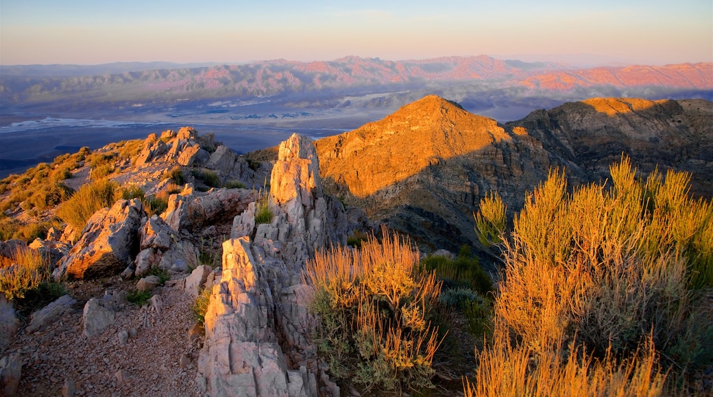
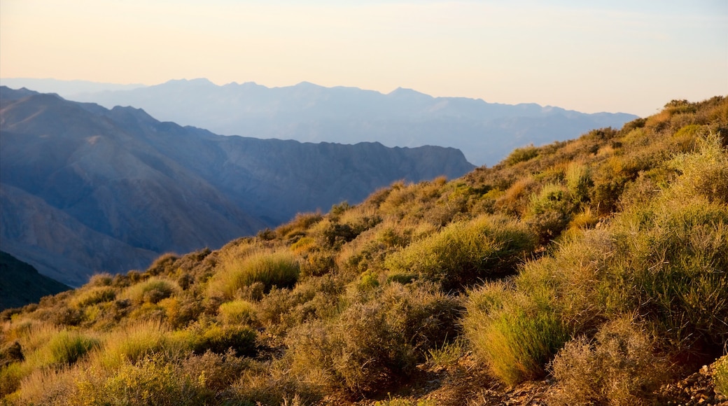
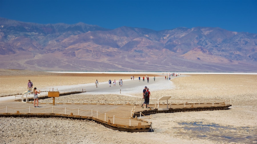
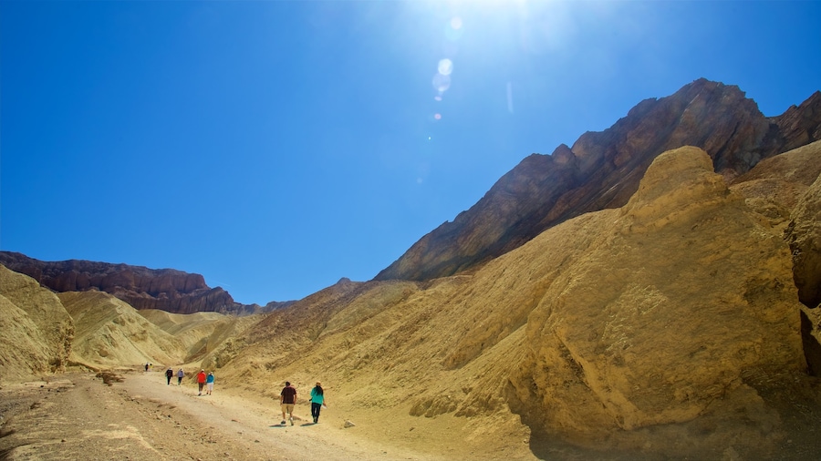
Panoramic and solitary views of the Badwater Basin and Panamint Valley, especially stunning at sunset, offer rewards at the end of a washboard-like drive.
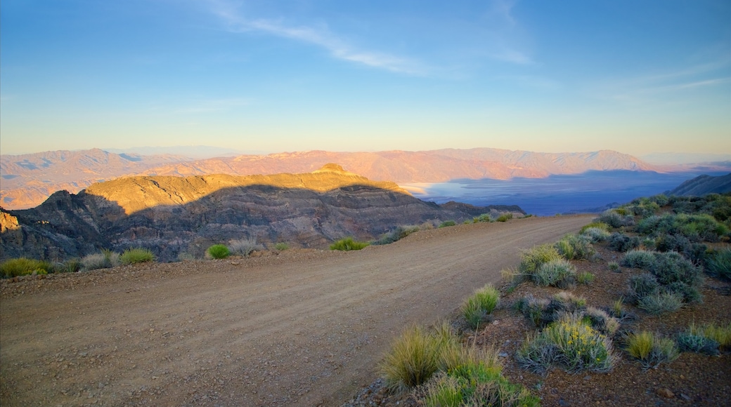
Pete Aguereberry, the Basque miner who is best known for single-handedly running the Eureka mine, used to bring visitors to Aguereberry Point. Rising 6,433 feet (1,961 meters) above the floor of Death Valley, the point offers stunning vistas of some of the park’s biggest attractions, from the Badwater to the distant peaks of Mount Charleston. Get to the view via a sometimes grueling drive along 6 miles (10 kilometers) of unpaved road, whose dips and rocky terrain have been described as bone-rattling.
Turn off the highway and set off along the road. Keep your gaze focused outside the window, not at the rattling windshield, as the rocky summits of the Panamint Range come closer into view. Inch up the narrow, one-lane road that winds up the peak itself. There is adequate room for one car, but Aguereberry Point is quite literally off the beaten path. Most likely you will have the road and the peak to yourself. Once you reach the point, you will see Death Valley stretching out into the horizon.
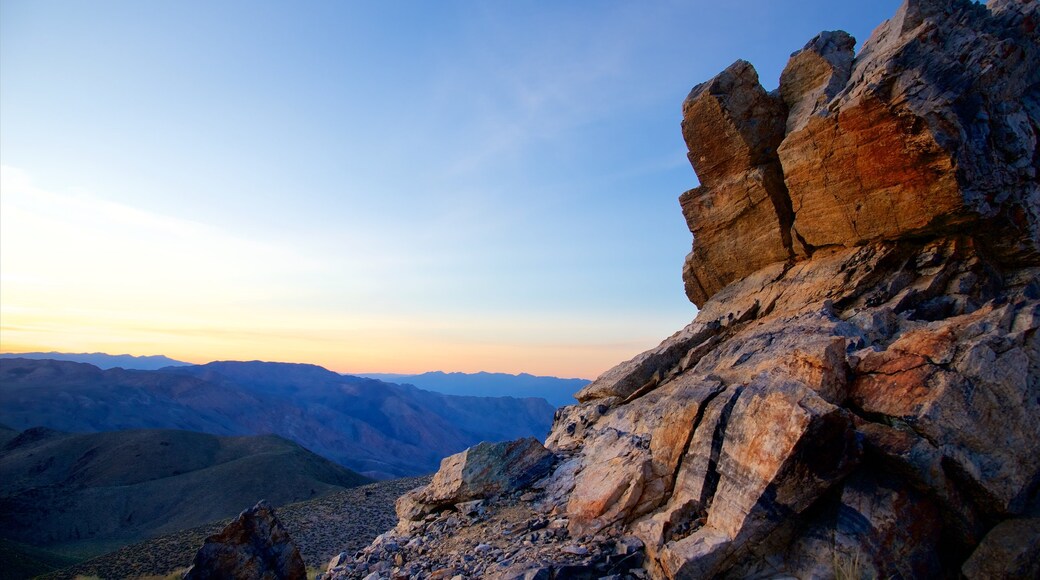
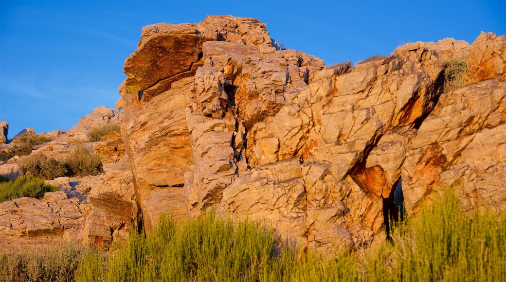
Clamber up on the rocks for varying angles of the sedimentary layers that offer new perspectives on the mountains all around. Bring binoculars to spot the fascinating rock formations snaking across the cliff faces and look for birds of prey soaring in the sky above.
Come at sunset to take advantage of the point’s western position and watch the landscape turn red in the late evening light before heading back home with the stars twinkling in the night sky above.
Aguereberry Point is located fairly close to the middle of Death Valley National Park, a 50-minute drive from Stovepipe Wells or an 80-minute drive from the park entrance. A four-wheel drive is highly recommended for the last bit of the road, which is precipitous and narrow, although it is possible to get to the top in any vehicle with high clearance. Park at the bottom of the incline and walk up if driving is not an option.
