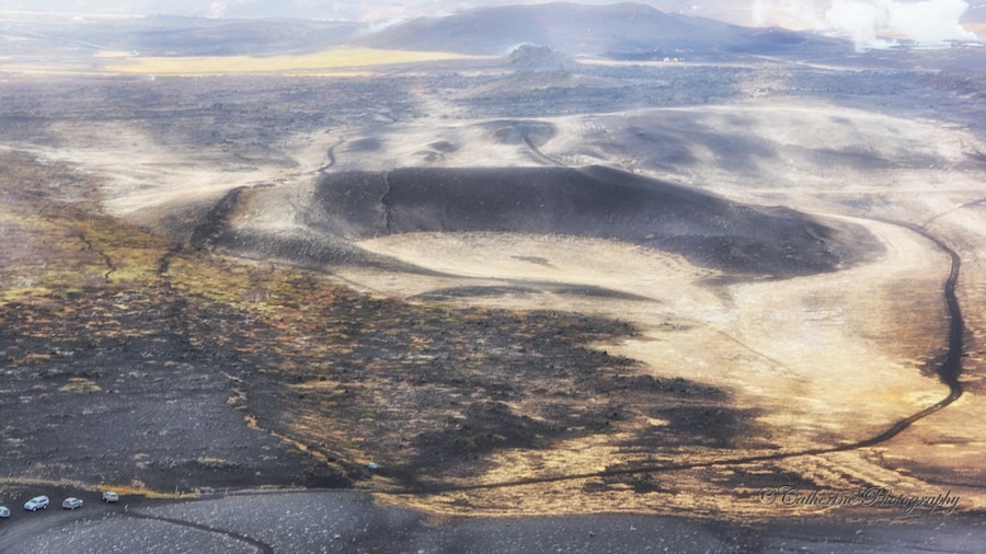
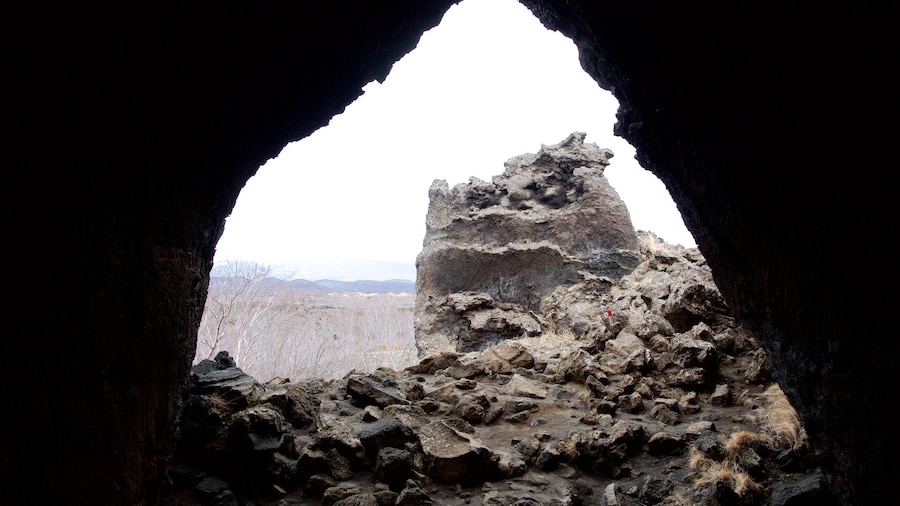
Krafla Volcano is a type of collapsed volcano, known as a caldera. See the hardened lava, stemming from one of Iceland’s most remarkable and active volcanoes, stretching across 12 miles (19 kilometers) of spectacular terrain. Its highest peak reaches a height of 2,683 feet (818 meters) and its depth sinks to 1.2 miles (2 kilometers).
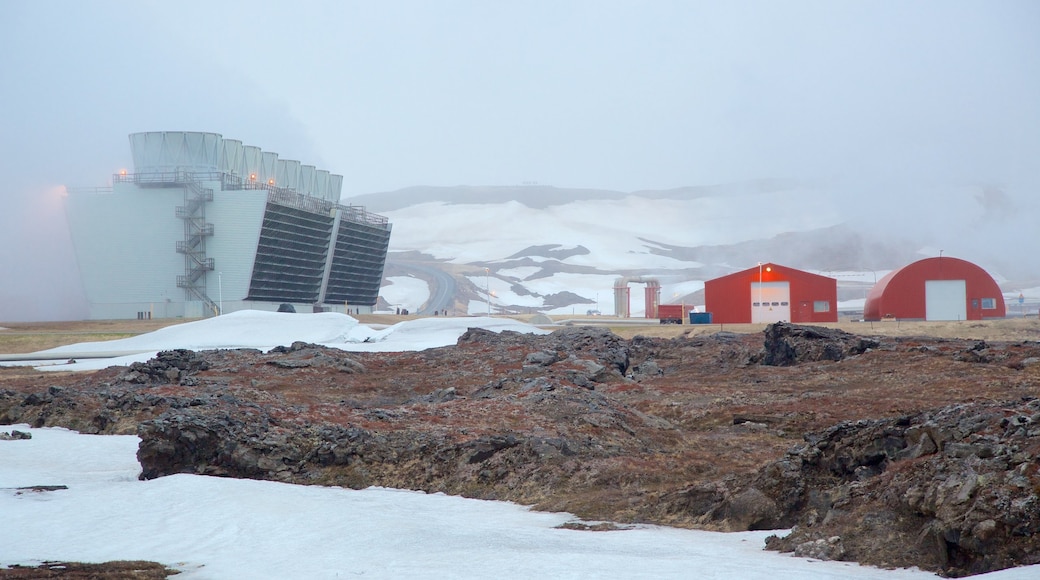
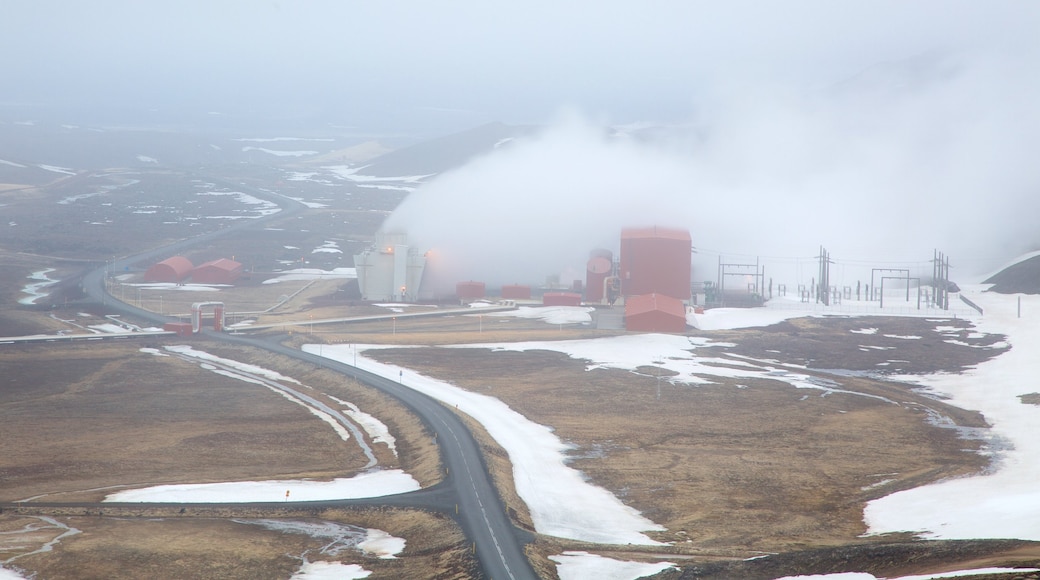
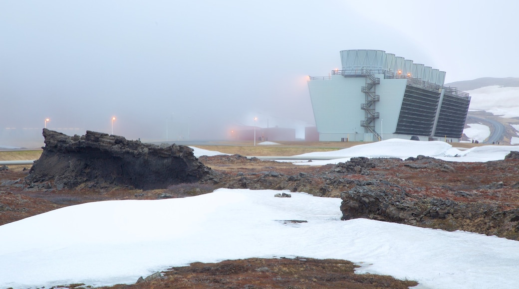
Go to Leirbotn and stop off at the Krafla Station’s visitor center to learn about the way the geothermal energy is harnessed. Watch a film about its recent eruptions and find out fun facts about the caldera. Walking paths stretch through the lava fields north of the station to the explosion crater of the caldera.
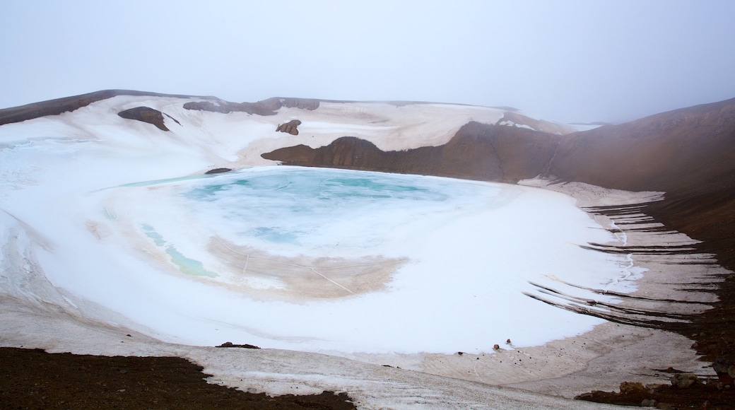
The collapsed volcano comprises a large crater formed by a steam eruption in 1724. Follow the trails around the top of the crater. See the opaque teal green lake that has formed in its interior.
Hike in the Krafla region to see the range of extraordinary volcanic rock formations. Just a 20-minute walk southeast of the caldera is the Leirhnjúkur region, which consists of steaming sulfuric terrain and a colorful volcanic landscape.
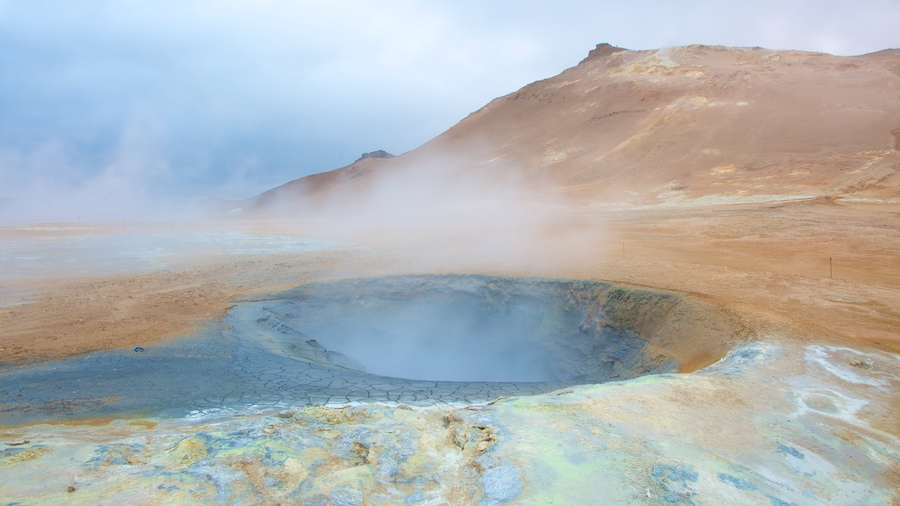
Gaze up at the mountain of Námafjall that sits above geothermal boiling mud and fumaroles. The region is a great source of geothermal energy that is used to generate power.
Contrast the light green moss with the dark ground and red-brown volcanic rock. Trek past the bubbling mud pits and jets of steam rising from the earth. Capture photos of the otherworldly terrain.
The Icelandic term for the caldera’s explosive crater is “Viti Maar,” which means “Hell Crater.” Listen to the myths that suggest the underworld was located beneath the caldera. Its latest major eruptions occurred frequently between 1975 and 1984.
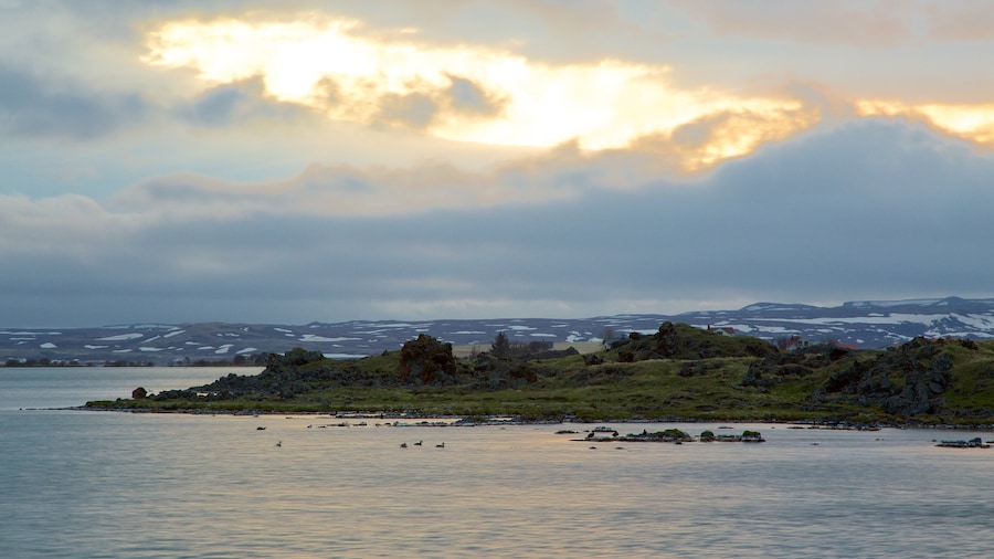
Krafla Volcano is about 12 miles (19 kilometers) northeast of Mývatn Lake. It is in a region of fascinating volcanic terrain that includes the lava fields of Dimmuborgir and the crater of Hverfjall Volcano.
