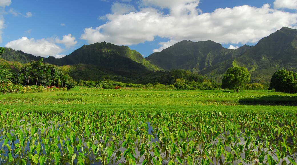
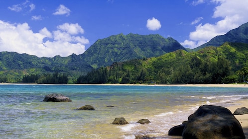
Mt. Waialeale is a shield volcano with a peak that is the second-highest part of Kauai Island. This bumpy range of hills is covered in thick layers of emerald-green vegetation. Ascend the trails to this wet and picturesque summit and capture photos of the panoramic views of the surrounding valleys.
Hike to the nearby Puu O Kila Lookout for the best views of the shield volcano, across the Alaka’i Swamp. Hope for clear skies in this relatively cloudy part of the world.
Follow the trail that leads through the swamp from the lookout to Mt. Waialeale’s peak. The ground is wet and slippery along the trails, which are flanked by rare, tropical plants, including the astelia waialealae and the endemic dubautia waialealae.
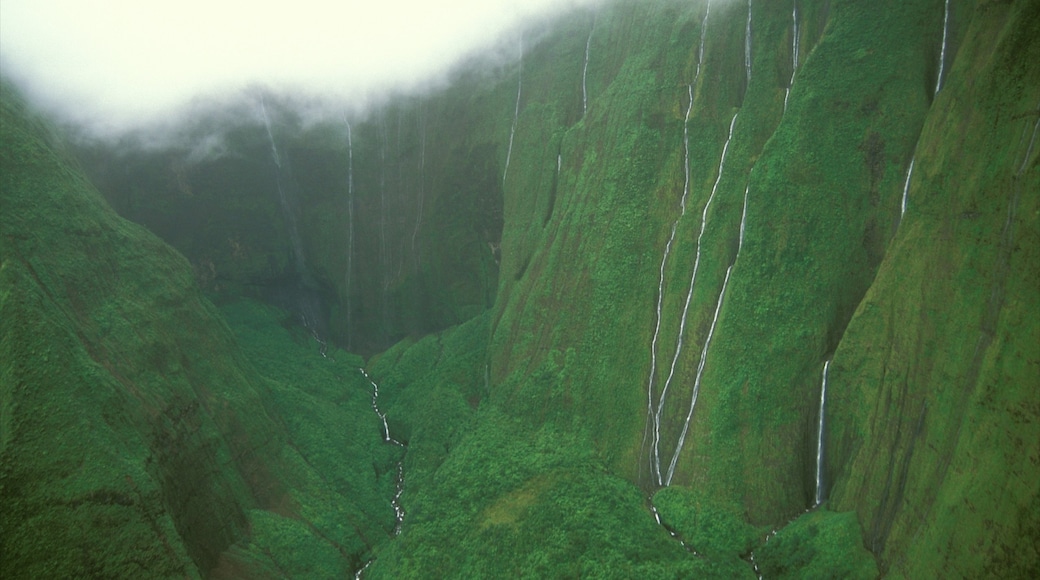
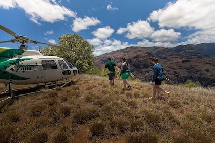
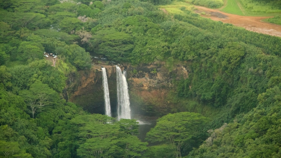
Travel in style in a helicopter for a glimpse into the volcano’s crater. The edges of the crater generally flow with water due to the heavy localized rainfall. Peer through the mist at these constant waterfalls, which stream down the mossy cliffs into the valley. These cascades are known as the Weeping Wall, falling into the Blue Hole.
The name of the site translates to Rippling Water. Make sure to bring a plastic bag to protect your camera and other items from the rain and mist.
Note that the volcano at the heart of this wet region has long been extinct. Its summit is 5,148 feet (1,569 meters) high. The mountain receives an average of 452 inches (1,150 centimeters) of rain annually, fairly evenly distributed year-round. Its steep cliffs force the humid air to rise quickly, resulting in heavy rainfall.
Mt. Waialeale is at the southwestern end of the Lihue-Koloa Forest Reserve, right in the heart of the island of Kauai. It is just east of the Alaka’i Wilderness Preserve and north of the Kawaikini Mountain. Take a helicopter tour or hike the Alaka’i Swamp Trail to get here.
